First part of KV Svalbard’s Arctic research cruise 2024 has been completed

Scientists from HiAOOS and the Office of Naval Research project HiATTS1 have completed the first leg of a research cruise with the icebreaker KV Svalbard. The research cruise began on 19 August from Sortland in Northern Norway and will run for 6 weeks with a short interval between legs in early September, onshore in Svalbard.
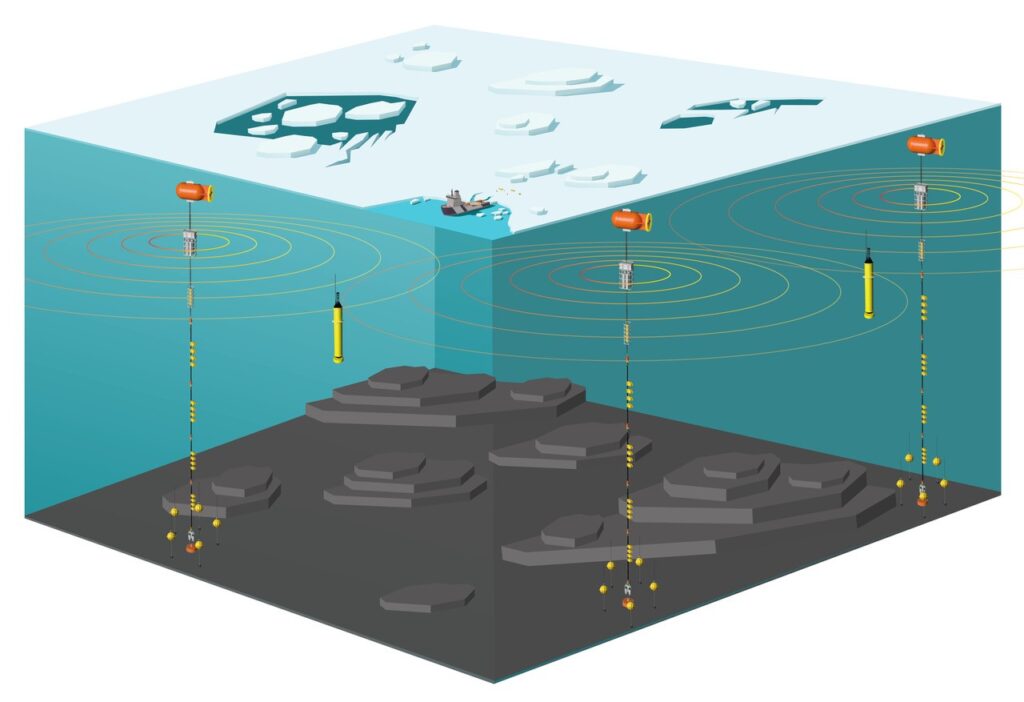
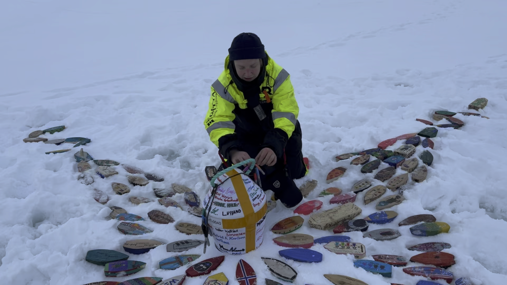
During this first leg, the scientists deployed an underwater observing system (Fig. 1) in the central part of the Arctic Ocean. The system will be operation for 2 years and be recovered in 2026. During the first three weeks, two moorings were deployed and three other moorings were recovered. One surface buoy measuring temperature and ice melting was deployed on an ice floe in the eastern part of the Nansen and Amundsen Basin, at ca. 85 N 128E. Here, the first group of small wooden boats and drifters were deployed as part of Float Your Boat initiative (Fig. 2). More deployments of wooden boats will be done in the second leg of the mission (September). The ice conditions in the eastern Nansen and Amundsen Basin were dominated by a lot of melt ponds and weak ice which was sad to observe, but it made the ice navigation easier than expected.

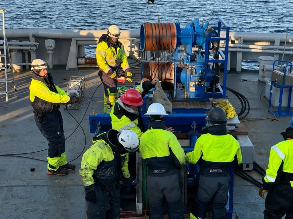
The observing system consists of four deep sea moorings deployed in different locations in international waters in the Nansen and Amundsen Basin. The distance between the moorings varies from 450 km to about 1000 km. The moorings are deployed with anchor first and the floatation buoy last, shown as the large orange buoys on the helideck (Fig. 3). Each mooring is attached to the sea bottom with a 1500 kg anchor and kept vertical by a floatation element. Between the anchor and the floatation buoy is a 4 km long wire with about 40 instruments attached to it. The whole deployment operation takes about three days for each mooring.
The instruments measure the ice thickness, the temperature, salinity and currents of the water in various depth layers. These are important measurements for studying the state of the ocean below the ice in the Arctic. The moorings are also equipped with hydrophones to receive acoustic signals to be used in thermometry, earthquake studies, and in studies of sound from different marine mammals in the Arctic. The observing system deployed in this cruise will operate for two years, but it is important to continue the observations over the longer term to understand how the climate in the ocean under the sea ice changes in the coming years.
An important part of the observing system is to measure the travel time for the acoustic signals between the moorings. Three of the moorings have sound sources transmitting signals at specific times. The signals are received by the hydrophones on the other moorings. The mooring will sway with the currents causing the instruments eg., the source and the receiver array, to move in the water column. The accurate position of source and receiver array are measured with a network of acoustic transponders placed on the seafloor around the mooring. This is used to calculate accurate distance between the source and receivers hosted by the different moorings. The scientists use advanced acoustical models to estimate the paths of the signals through the water masses from the sources to the receivers. Then the measured sound speed is used to derive the temperature at in different layers, e.g. the polar water in the surface layer and the Atlantic water masses below. The same sound signals can help the scientists to position drifting sub-surface floats equipped with acoustic receivers. With these data the drift paths of the floats can estimated, giving unique data about the circulation of the water masses in the Arctic basin.
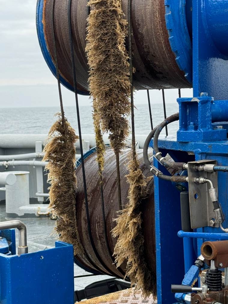
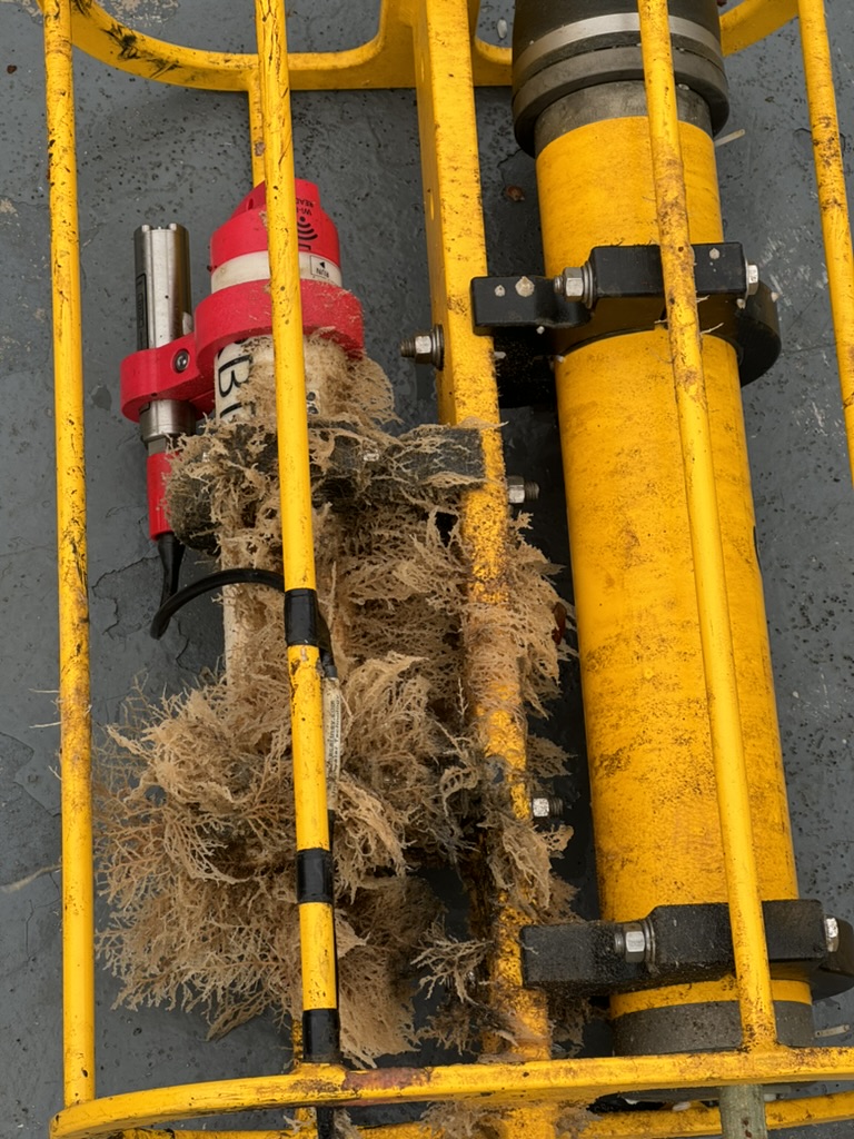
Figure 4. Vegetation growing on the wire which had been in the water for 3 years north of Svalbard (left). Vegetation on an instrument on the same mooring, which was deployed in 2021 under the INTAROS project (right). (Photo by Hanne Sagen)
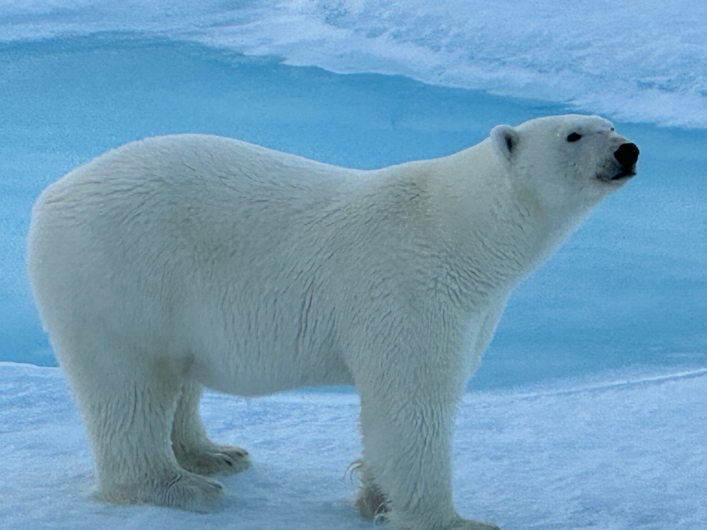
In the last week of leg 1, three moorings from other projects were recovered north of Svalbard: some of them had collected data for three years. In this region, warm and nutrient-rich water masses are transported into the Arctic Ocean. When the moorings came on deck the wire and instruments were overgrown as shown in Fig. 4. One of the moorings had hydrophones recoding a variety of sounds from marine mammals and fish. The acoustic data will be analyzed at the Nansen Center and University of Bath, England. In the eastern part of the Nansen and Amundsen Basin we observed three polar bears which appeared to be in good shape. One of them stayed 10-20 m from the ship for a long time, to the great amusement of everybody onboard (Fig. 5).
The HiAOOS scientists onboard were from the Nansen Center, the Norwegian Polar Institute, University of Bergen, and Institute for Oceanology Polish Academy of Sciences. Two students from University of Bergen were from the project “Useful Arctic Knowledge2”. Hanne Sagen from the Nansen Center is leader of both projects. The HiATTS scientists were from Scripps Institution of Oceanography, Woods Hole Oceanographic Institution, and Naval Postgraduate School. The HiAATS project is led by Matthew Dzieciuch, Scripps Institution of Oceanography.
1 HiATTS is funded by Office of Naval Research, USA.
2 UAK is funded by the Research Council of Norway.
Keen to know what happened next? Check out the follow-up here:

