The Arctic Ocean is one of the least explored oceans on the planet. Climate change in the Arctic is significant and will have far-reaching consequences for wildlife and humans, both within the region as well as globally. Collection of in situ data in polar regions is mostly funded through time limited and independent research projects, introducing large gaps in time and space. It is therefore difficult to get an overview of where and when in situ observations are collected in the Arctic.
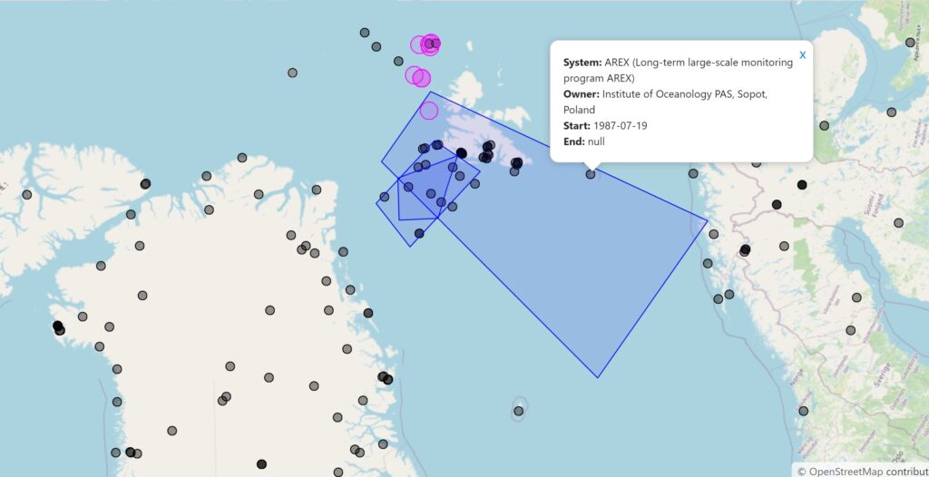
The ARCMAP system is designed to visualise in situ observing capacity and maturity through dynamic maps and statistics (see figure below). The ARCMAP site and ARCMAP plots are free to use to explore the systems already registered. Is your observing system visible to the Arctic research communities and stakeholders? If not, sign up today at the ARCMAP registration site.
ARCMAP was developed in the Horizon 2020 INTAROS project and the Norwegian Directorate for Climate and Environment project “Marine data in the Arctic: From mapping to knowledge”. ARCMAP is maintained by NERSC.